
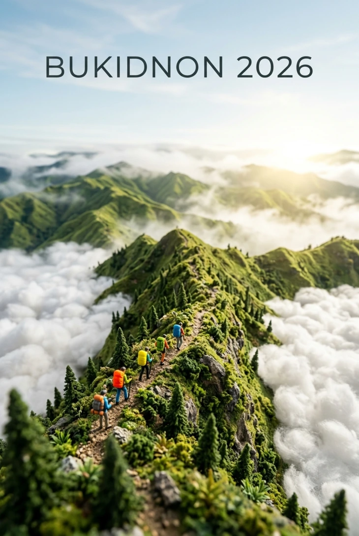
If you’ve been scrolling through hiking forums or Mindanao travel groups, you’ve probably noticed one province coming up again and again: Bukidnon. Tucked into the highlands of Northern Mindanao, Bukidnon isn’t just another item on a Philippine bucket list, it’s shaping up to be the country’s most talked-about Bukidnon hiking destination for 2026. Between record-breaking peaks, a cool climate rare for Mindanao, and trails suited to every skill level, this landlocked province offers something few other regions can match: variety without the crowds.
This guide goes beyond the usual “top mountains” listicle. We’ll walk through trail difficulty, permit requirements, costs, the best season to go, and lesser-known routes that seasoned hikers are only just discovering, everything you need to plan a trip that actually works.
What Makes Bukidnon Stand Out Among Bukidnon Mountains
Bukidnon’s name comes from the Bisaya word bukid (mountain), and the province lives up to it. It’s home to two of the Philippines’ highest peaks and dozens of ridge hikes, making it one of the densest concentrations of hikeable terrain in the country.
Three things set it apart:
- Elevation and climate. Much of Bukidnon sits at 1,000+ meters above sea level, giving it a cool, pine-forest climate unusual for a tropical island, ideal for multi-day treks without the brutal heat found elsewhere in Mindanao.
- Biodiversity. Mt. Kitanglad is a protected natural park and one of the country’s richest biodiversity zones, home to endemic wildlife and old-growth mossy forest.
- Indigenous culture. Many trails pass through ancestral Higaonon and Talaandig territory, and local guides often share oral histories and traditions you won’t find printed on any map.
The Best Trails for Every Hiker
Mt. Dulang-Dulang: The Crown Jewel
Mt. Dulang-Dulang is the second-highest mountain in the Philippines, and the trek is a genuine bucket-list climb. The route moves through pine forest and open grassland before disappearing into dense, moss-draped jungle near the summit, a landscape shift that makes this one of the most visually dramatic hikes in the country. It’s often combined with a traverse of Mt. Maagnaw for hikers wanting an extended multi-day itinerary.
Mt. Kitanglad: Sacred Ground, Serious Views
Ranked as the third-highest peak in the Philippines, Mt. Kitanglad is both a protected park and considered sacred by local indigenous communities. Expect panoramic ridge views, a real chance of a sea-of-clouds sunrise, and strict adherence to park rules, a guide is required, and alcohol is prohibited on the trail.
Mt. Kalatungan and Mt. Capistrano: For Endurance Hikers
For hikers chasing a physical challenge, the Mt. Kalatungan–Mt. Lumpanag traverse is considered one of Mindanao’s toughest routes, with steep, muddy descents that reward summiteers with sweeping views of mossy forest and layered peaks. Nearby Mt. Capistrano is a demanding day hike that isn’t recommended for first-timers, given its long one-way trek time and rugged terrain.
Mt. Kulago: The Rising Star for 2026
If you want something scenic but less punishing, Mt. Kulago in Impasug-ong has quickly become a favorite. At just under 1,000 meters, its golden-green rolling ridges and a Tagoloan River crossing make it accessible for a wider range of fitness levels while still delivering a 360-degree view of the Kitanglad Range at sunrise.
Panimahawa Ridge: Best for Beginners
For hikers who want the reward without the grind, Panimahawa Ridge is a beginner-friendly sunrise trek that delivers panoramic hill views and a good chance at a cloud inversion, an ideal warm-up hike before tackling Bukidnon’s bigger mountains.
Planning Your Trip: Permits, Guides, and Costs
Unlike casual day hikes elsewhere, most of Bukidnon’s major peaks require registration through the local tourism office, and several, including Mt. Kalatungan, require a permit from the municipal Department of Tourism before you can hire porters and guides. Budget roughly:
- Entrance/tourism fees: ₱20–₱200 depending on the site
- Guide fees: Typically required for Mt. Kitanglad and Mt. Dulang-Dulang for both safety and cultural respect
- Transport: Habal-habal (motorcycle taxi) rates run ₱700–₱1,800 depending on distance; a full-day 4×4 tour starts around ₱7,000 for small groups
When to Hike Bukidnon in 2026
The dry season, roughly November through May, offers the most stable trekking conditions and the clearest summit views. If a sea-of-clouds sunrise is your priority, aim for the tail end of the dry season when temperature differentials are highest overnight.
Where to Stay and How to Get There
Most hikers base themselves in Impasug-ong, Dahilayan, or Malaybalay City, all of which offer easy jump-off access to major trailheads. The typical route is flying into Cagayan de Oro or Davao City, then taking a van or bus into Bukidnon proper, a detail worth confirming with your accommodation ahead of time, since trailhead transport can be limited outside peak season.
Practical Packing Tips
- Wear broken-in hiking shoes with solid ankle support, Bukidnon’s trails alternate between dry grassland and slick, muddy mossy forest
- Pack a light rain shell even in dry season; elevation changes bring sudden weather shifts
- Bring more water than you think you’ll need, especially on sun-exposed climbs like Mt. Kulago
- Carry cash in small bills for entrance fees and guide payments, as most trailhead offices don’t accept cards
Final Thoughts: Why 2026 Is the Year to Go
Bukidnon combines record-setting elevation, indigenous cultural depth, and trail variety that few Philippine provinces can rival, from beginner-friendly ridges to some of the country’s most demanding traverses. As more travelers discover routes like Mt. Kulago and Panimahawa Ridge, the window to experience these trails before they get significantly busier is narrowing. If you’re mapping out your 2026 hiking calendar, Bukidnon deserves a top spot.
Ready to start planning? Reach out to a local Bukidnon tour operator or your accommodation’s front desk at least a few weeks ahead to secure permits and guides for peaks like Mt. Kitanglad and Mt. Dulang-Dulang, availability tightens fast during peak dry season.

